HISTORY X Google Earth Voyager
Role: Photo Editor & Researcher
Tools: Photoshop
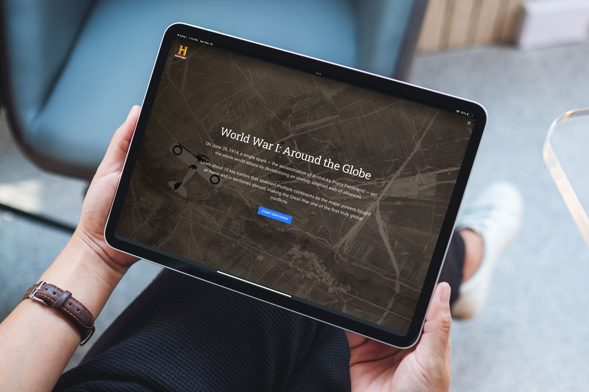
To celebrate the 100th anniversary of Armistice Day, HISTORY® partnered with Google Earth Voyager to show the international scale and immense global impact of World War I.
Through Voyager, viewers can explore interactive guides and maps taking them through a chronological journey around the globe, enhanced with historical photos.
As photo editor & researcher on this collaboration, it was my job to curate immersive visuals that transported users back in time, dropping them right into the action.
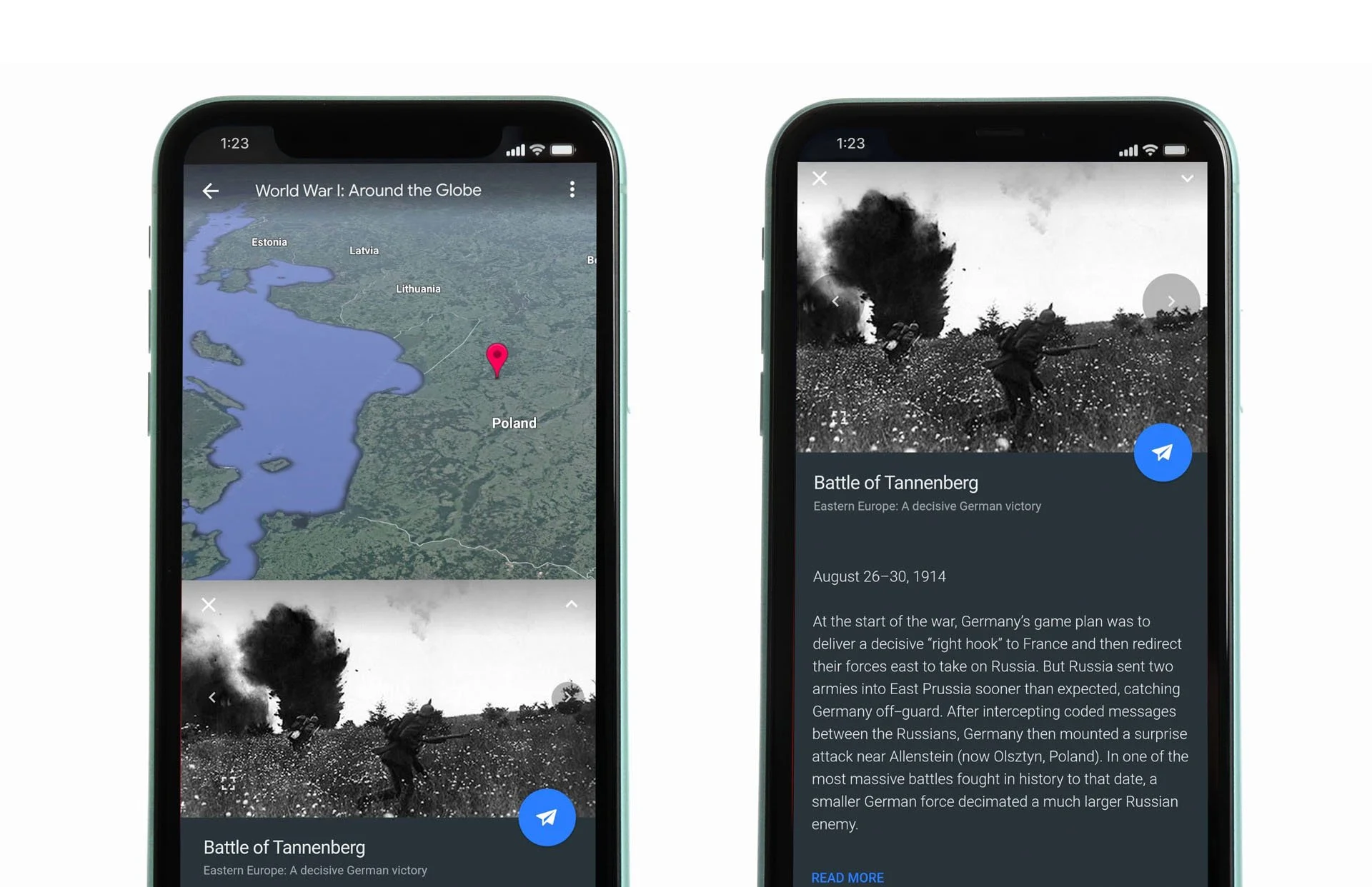
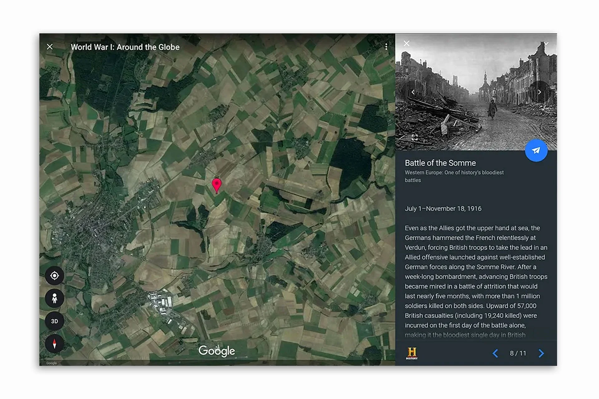
This format allowed for more enhanced visual storytelling, more directly making the connection of history’s lasting impact on the present. Photo research didn’t rely soley on great visuals, but also historical accuracy to the maps locations. Thorough and thoughtful research maintained brand authority and earned trust with history buffs and casual learners alike.
The following year, we collaborated again with Voyager to highlight Black History through an interactive journey of the Freedom Rides. This map follows the bus route activists took in 1961 to courageously challenge segregation in America and achieve racial justice for travelers in the Jim Crow South.
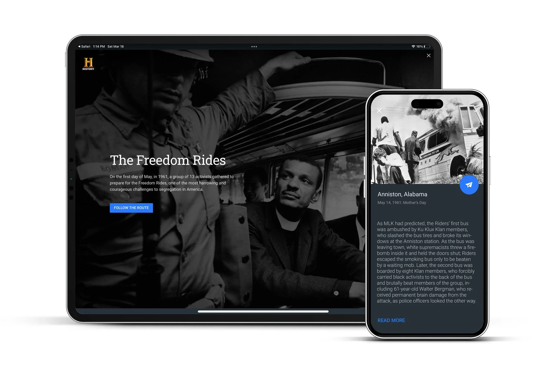
Click through the photos below to follow used in the Freedom Rides interactive: